Section Branding
Header Content
Defense Department to cut meteorologists' access to hurricane storm intensity data
Primary Content
LISTEN: When peak hurricane season arrives in August and September, weather forecasters will no longer have access to certain data used to track a storm’s intensity. GPB’s Ellen Eldridge explains why.
At the end of the month, the Department of Defense will cease sharing data from its Meteorological Satellite program with the National Oceanic and Atmospheric Administration (NOAA) and the National Aeronautics and Space Administration (NASA).
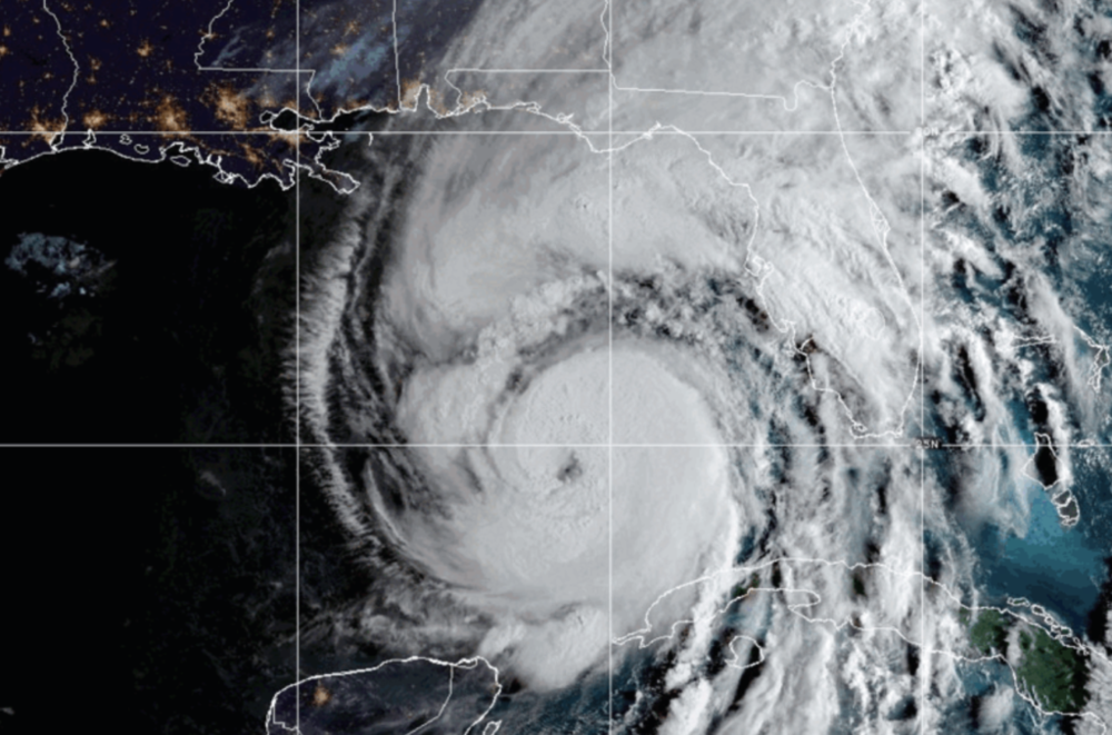
An instrument called the Special Sensor Microwave Imager aboard three different satellites looks at the amount of emitted microwave energy, allowing for a different way of looking at the atmosphere and looking at a surface, University of Georgia Distinguished Research Professor and Associate Vice President for Instruction Thomas Mote said.
These three satellites from this program represent about 50% of the microwave observations that we receive, and provide information that goes beyond the visible or infrared signals — in effect, looking underneath the metaphorical hood at what's going on inside the clouds.
One of the reasons this imager is helpful is that it sees through clouds and can be used at night, unlike looking at a satellite image using reflected sunlight off of clouds, which can only be done during the day, Mote said.
"So, one of the real concerns is that with this loss of data, it might be more likely that we would have what's called the 'sunrise surprise,' or a storm that has moved or rapidly increased in intensity overnight when we don't have other kinds of observations available," Mote said.
This particular satellite instrument basically takes an X-ray or a CAT scan of the hurricane, looking at some of the rapidly developing rainfall towers and so forth, Georgia Athletic Association Distinguished Professor and Director Atmospheric Sciences Program Marshall Shepherd explained.
But in terms of knowing hurricanes are out there, how big they are, how they're moving and where they're going, Shepherd said that data's still available.
"Georgians will not be flying blind," Shepherd said, though he cautioned that "there is some concern that the loss of this particular data set could impact our understanding of intensity changes in hurricanes, particularly at a time when hurricanes are exhibiting rapid intensification near the coast."
The Defense Department’s rationale for cutting off this data has to do with cybersecurity.
Secondary Content
Author

Bottom Content
