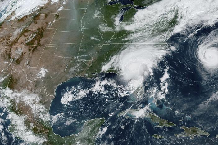
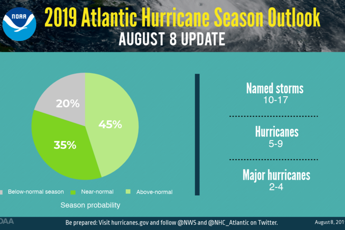
Forecasters say the warming climate pattern El Niño is officially over. Its cooling counterpart, La Niña, could develop as soon as July — just in time to exacerbate an above-average hurricane season.
El Niño helped drive global average temperatures to new records over the last year. Forecasters say it's waning, but that 2024 may still be one for the record books.
For the 10th consecutive month, Earth set a new monthly record for global heat — with both air temperatures and the world's oceans hitting an all-time high, the European Union climate agency said.
2023 was significantly hotter than any year going back to at least the late 1800s. The coming decades will be even hotter if humans don't rapidly move away from burning fossil fuels, scientists warn.
Most of the country is predicted to be warmer than normal with that warmth stretching north from Tennessee, Missouri, Nebraska and Nevada, along with nearly all of California, say federal forecasters.
The natural climate pattern known as El Niño has officially begun. It exacerbates human-caused climate change, driving even hotter temperatures and other dangerous weather.
The cooling in the Pacific Ocean has gone on for three years. Its end is usually good news for the U.S. and other parts of the world, including drought-stricken northeast Africa, scientists said.
The latest estimate from various forecast centers around the world say the planet is approaching a warming threshold international agreements are trying to prevent.