Section Branding
Header Content
Hurricane season is now over. Despite Ian's near miss in Georgia, it still caused coastal erosion
Hero Image
Primary Content
LISTEN: The 2022 hurricane season officially came to a close Wednesday, ending a six-month period that largely spared Georgia but nevertheless caused coastal erosion. GPB's Benjamin Payne reports.
——
The 2022 hurricane season saw its last day Wednesday — and although Georgia was spared a direct hit this year from Hurricane Ian in late September, the storm system still managed to take a toll on the state's coastal landscape.
“Hurricane Ian moved the shoreline about 30 feet inland,” said Skidaway Institute of Oceanography director Clark Alexander, referring to part of the beach on Tybee Island. “It did about half as much damage, in moving the shoreline and eroding the shoreline, as a whole two-and-a-half years of erosion under normal, non-hurricane storm damage conditions.”
Tybee's erosion came even as the center of Ian stayed well away from the area, veering further east into the Atlantic Ocean than originally forecast: When the hurricane made landfall on Florida's Gulf Coast, Coastal Georgia stood well within the National Hurricane Center's dreaded “cone of uncertainty,” which tracks the probable path of the eye of the storm.
“A single event — even for Hurricane Ian, that moved by us and had a much better track than we had anticipated — can do significant damage to our coastal beaches,” Alexander said.
Fortunately for Tybee, the city managed to mitigate damage through its beach renourishment program — a process in which offsite sand is pumped up from either offshore or underwater deposits, or trucked in from upland sites.
“Tybee beach renourishment is so well planned and they've looked at so many different aspects of shoreline erosion and how to mitigate that, that it's really hard to find negative effects on the island,” Alexander said, adding that the city's beach renourishment program has been in place since the mid-1970s.
Nevertheless, the Skidaway Institute's monitoring has found that Tybee's shoreline — where the high water line meets the upland — has still been moving inland ever since Alexander's team began taking measurements in 2020.
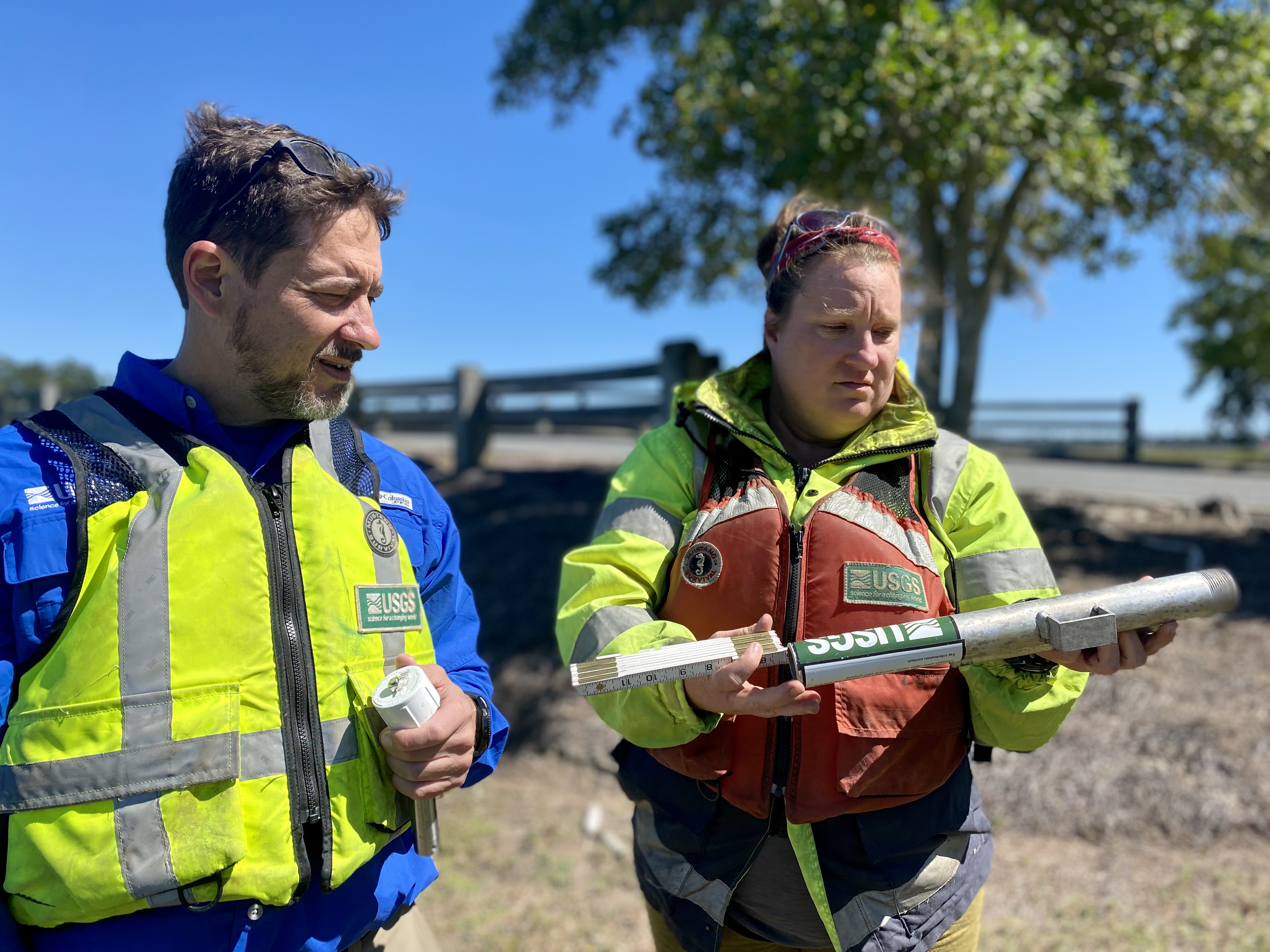
The U.S. Geological Survey has also been conducting monitoring of its own: shortly before Ian's arrival to the U.S., the agency installed hundreds of sensors along the Atlantic and Gulf coasts to measure storm tide — an advanced metric that supplements traditional storm surge data with high tide, in order to give a more complete picture of a hurricane's flood impacts.
“It's the amount of surge over and above what you would normally see,” USGS hydrologist Chris Smith explained. “Having a hurricane hit at high tide could cause you to have higher storm surge than hitting at low tide.”
Although relatively little storm tide was recorded in Georgia, the data stands to pay dividends in the future: the USGS shares its figures with multiple government agencies, including the National Weather Service, which uses it to improve its forecast modeling.
The NWS plans to release its first outlook for the 2023 hurricane season in May. In the meantime, officials are advising people to ensure that their families are ready for whatever next year may bring — especially as global warming intensifies hurricanes and the rainfall brought with them.
“What we can expect is to have stronger storms as the climate warms, because there's basically more fuel,” Alexander said. “Hurricanes get their fuel from the moisture and the heat in the upper ocean. So, we expect to have more intense storms. The jury is still kind of out on whether we expect to have more storms. It's just that the ones we do experience will be stronger.”
Secondary Content

Bottom Content
