Section Branding
Header Content
Florence: Forecasters Expect Minimal Impact In Georgia
Primary Content
The National Weather Service says Georgia will be spared the worst of Florence, which was downgraded to a tropical depression Sunday morning.
According to the Weather Service office in Peachtree City:
"Expected impacts in Georgia remain limited with forecast rainfall in northeastern Georgia near 1" possible with isolated higher amounts through Tuesday."
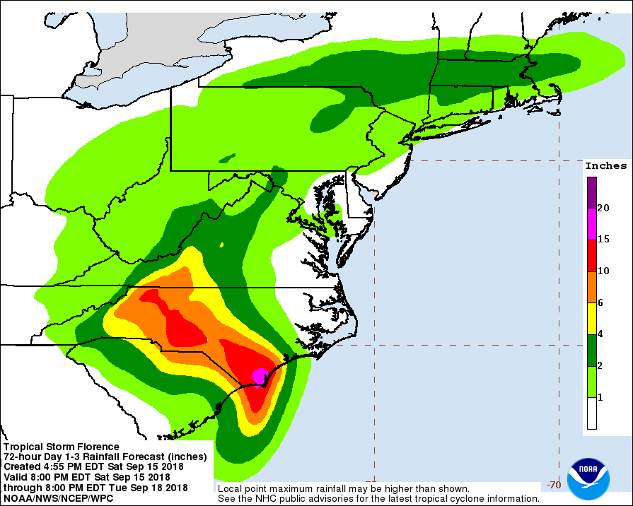
9/13/18 6 P.M.
National Weather Service meteorologist Ron Morales says current predictions show the storm drifting inland over South Carolina before crossing into Georgia. “That’ll weaken it considerably but it won’t lower the chances for heavy rainfall," Morales said.
"In fact a lot of times as we saw with storms like Harvey and many others in history, once they get on shore and slow down they have a massive capacity to produce a lot of rainfall.”
Morales says parts of east Georgia could see heavy rain and wind from Friday night through the weekend.
9/13/18 12 P.M.
Forecasters say Hurricane Florence’s impact in Georgia depends on what happens when the storm reaches land. Meteorologist Neil Dixon with the National Weather Service says heavy rain is now the biggest threat for east Georgia, through the weekend.
“So right now we have a slight risk for excessive rainfall right along the Savannah River," Dixon said. "When you get down to Savannah proper, they’re at more of a marginal risk for flash flooding. But it all depends on if the period of heavy rain coincides with high tide.”
The coast remains under rip current and heavy surf warnings, with strong waves likely to cause beach erosion.
9/13/18 6 A.M.
The National Weather Service says Hurricane Florence should reach the state by late Sunday or early Monday.
"The greatest impacts are going to be felt in the Savannah River valley and those far eastern counties," said meterologist Brian Lynn.
Lynn says the storm could still track further south, which would bring heavy rain and damaging winds to central and northwest Georgia.
EARLIER:
Georgia Governor Nathan Deal declared a state of emergency Wednesday for all 159 counties ahead of Hurricane Florence.
The latest forecasts show Florence is expected to make landfall in the Carolinas as early as Thursday night. It's then expected to turn south and west.
"The state is mobilizing all available resources to ensure public safety ahead of Hurricane Florence," Deal said. "In light of the storm's forecasted southward track after making landfall, I encourage Georgians to be prepared for the inland effects of the storm as well as the ensuing storm surge in coastal areas."
According to National Weather Service meteorologist Christina Speciale, the storm could hit Georgia's coast Thursday night and effects could be felt throughout the weekend.
One model shows the storm weakening over land, but bringing heavy wind and rain from Augusta to Athens.
Speciale says Florence could bring tropical storm force conditions to Savannah and the coast.
“We generally mean winds between 39 and 73 miles per hour and heavy rain," Speciale says. "The potential for some storm surge along the coastline is also possible.”
Residents living along the coast in the northern part of South Carolina and the southern part of North Carolina have been give mandatory evacuation orders.
Secondary Content


Bottom Content
