Banner Image
Blog

Section Branding
Header Content
This Week In Georgia Weather - April 30th
Primary Content
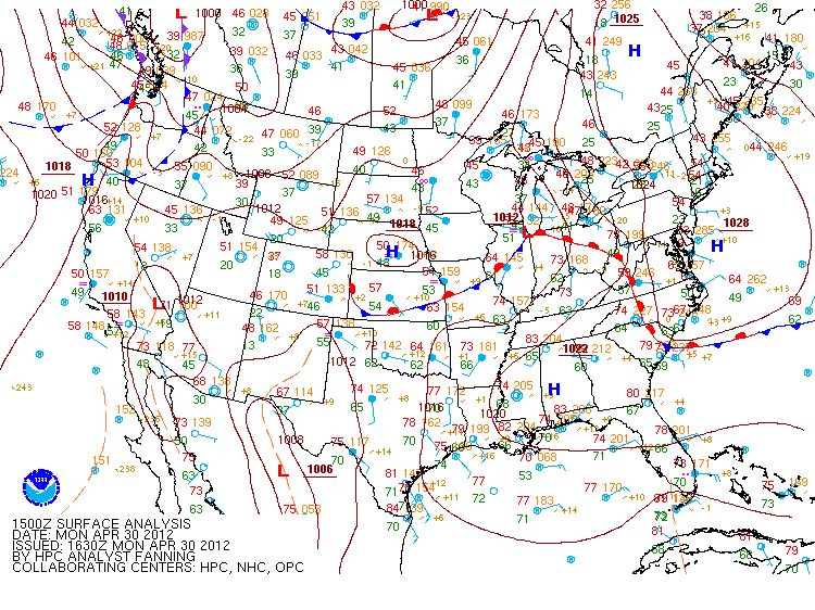
As we round through April and head straight into May, the thermometer will continue to rise higher and higher and signal the coming season of Summer. A weak upper-level trough will trigger some thunderstorms on Tuesday and Wednesday, though the chance of rain throughout the state will remain slim. Unfortunately, the hot, dry conditions will only exacerbate the drought in place over the southeastern United States. Tell me, how are you planning to celebrate summer? And with the drought in place, what tricks have you developed to conserve water yet keep your garden or lawn green? Images courtesy of Wright-weather.com.
Update: Record high temperatures were tied and broken on Monday at Columbus and Macon. In Columbus, 94 degrees was recorded on April 30, 2012 - this broke the old record of 92 degrees, which was set in 1970. In Macon, 93 degrees was recorded on April 30, 2012 - this tied the old record of 93 degrees, which was set in 1987.
Record high temperatures were also set in Columbus on Tuesday, May 1, 2012. On this day, a record high temperature of 92 degrees was observed; this breaks the previous record of 90 degrees set on May 1, 1959.

Forecast radar through Wednesday afternoon. Only a portion of the state will experience scattered showers.

Forecast temperatures for 5pm Wednesday. Most of the state will experience temperatures in the 80's, while pockets of 90's are also possible.

Forecast temperatures for 5pm Friday. Some areas of the state will see temperatures in the 90's.

Drought Monitor
As we round through Ap
Secondary Content
Author

Bottom Content