Section Branding
Header Content
Tropical Storm Francine strengthens in the Gulf of Mexico, with its sights on Louisiana
Primary Content
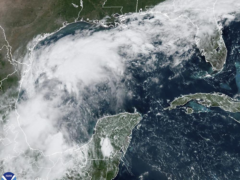
Tropical Storm Francine, which formed in the Gulf of Mexico on Monday, is getting "stronger and becoming better organized," the National Hurricane Center said.
It's expected to become a hurricane before it reaches the U.S. Gulf Coast — which forecasters say could be as early as Wednesday.
The storm's maximum sustained winds had strengthened to 60 mph, the agency said in a Monday advisory. "Gradual intensification is expected over the next day with more significant intensification on Tuesday Night and Wednesday," the NHC said.
Louisiana and parts of the upper Texas coast could face life-threatening storm surge, while hurricane-force winds are expected to hit southern Louisiana beginning Wednesday. Francine will bring heavy rains and risks of flash flooding in those areas as well as in more parts of the Texas coast and southern Mississippi. Tornadoes are also possible in Louisiana and Mississippi, forecasters said.
On the forecast track, predictions show Francine arriving at the Louisiana coast on Wednesday evening. The storm is currently about 125 miles east of the coast of Mexico's Tamaulipas state. Forecasters say it will move northwest on Monday before pivoting to move northeast on Tuesday.
A hurricane watch is in effect for most of the Louisiana coast, from Cameron to Grand Isle.
The National Weather Service's New Orleans office warned that there could be 4 to 8 inches of rain in southeast Louisiana, with higher amounts possible. "The greatest impacts are expected Wednesday through Thursday morning," the office said.
A voluntary evacuation order was issued for residents in Grand Isle on Monday morning, NPR member station WWNO reported. All campers, RVs, and cargo and boat trailers were given a mandatory order to evacuate.
Grand Isle School also canceled classes on Tuesday, the station reported.
The NWS in New Orleans warned residents: "Now is the time to double check your supplies & review your plans. Don't wait till tomorrow." It recommended to Louisianans to charge electronic devices, get water, remove debris from drains, check first aid kits and prescriptions, and have a plan for pets.
The abnormally warm waters in the Gulf of Mexico are fueling the storm's development and intensity. The warmer waters are a hallmark of climate change.

