Section Branding
Header Content
Why Some Hurricanes Strengthen Over Land
Primary Content
As we enter the peak weeks of hurricane season, new University of Georgia research explains why some storms don’t fall apart once they make landfall.
The research is especially relevant for Georgia, where the biggest threat comes from flooding once a storm moves inland. Usually, a tropical system disintegrates once it makes landfall. So understanding what happens in cases where storms don’t could help forecasters better predict how storms will behave once they’re ashore.
“It’s just one of the things forecasters would need to consider when they’re looking at tropical cyclones that are going to make landfall, because that’s kind of unpredictable sometimes,” said Theresa Andersen, the study’s lead researcher. “There’s friction from land, there’s different topographical factors and atmospheric factors that can changes the storms or, in this case, help them maintain their strength.”
Andersen and her co-author, Marshall Shepherd, call the phenomenon the “brown ocean.” Basically, storms suck moisture and heat out of saturated soils and can maintain intensity. That mimics the energy of warm oceans that powers tropical systems at sea.
“More people die from inland freshwater flooding in hurricanes that make landfall, and so we’re really paying more attention to these storms,” said Shepherd, the director of UGA’s atmospheric sciences program and president of the American Meteorological Society. “Even though they move inland, they may not ever become a hurricane again, but they still can regain strength and dump a lot of rainfall and cause a lot of flooding.”
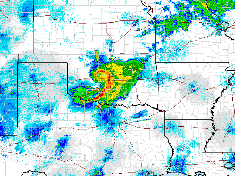
Tropical Storm Erin did that over Texas and Oklahoma in 2007, reforming its eye and prompting Andersen and Shepherd to wonder how often that happens around the world.
They analyzed data from 1979 to 2008 and found 16 storms like Erin. They said they used a very conservative standard to classify a storm as “inland” – 350 kilometers, or 217 miles – so it’s likely there have been more.
Soil moisture is a primary condition that causes these storms to maintain strength. But the researchers said the atmosphere over land also has to look a lot like an ocean atmosphere – namely, there are not many temperature differences in air masses over the land and not a lot of wind shear.
Andersen said the research could have even broader implications as the world’s climate changes.
“As some areas are getting wetter and some areas are getting drier, there are implications for this effect,” she said. “Tropical cyclones moving over [land] may be changing in the future as the soil moisture conditions change.”
“We already knew about these types of storms that changed over from being a tropical system to one that’s more of what we call a ‘mid-latitude’ or ‘extra-tropical’ system. We saw that happen with Superstorm Sandy,” Shepherd said. “But we had never classified these new types of storms like Erin that can re-intensify or maintain strength.”
The National Hurricane Center has forecast an above-average hurricane season for 2013. So far, six named storms have formed in the Atlantic, but the peak time for storm formation lasts through mid-October.
Tags: University of Georgia, weather, hurricanes, hurricane season, Atlantic hurricane season, tropical storm, marshall shepherd, theresa andersen, brown ocean phenomenon, tropical storm erin
Bottom Content
