Section Branding
Header Content
UPDATE: Hurricane Hermine Advances, Gov. Deal Declares State Of Emergency
Primary Content

Update 3:06 p.m.: The National Hurricane Center says Hermine has strengthened to a hurricane.
Gov. Nathan Deal has declared a state of emergency ahead of Hurricane Hermine.
The National Hurricane Center reports Hermine is moving toward the north-northeast at a speed of about 12 mph, and this motion with a slight increase in forward speed is expected during the next day or so. Hermine is expected to become a hurricane before it makes landfall on Florida's coast Thursday night or early Friday morning.
A tropical storm warning has been issued for the U.S. east coast from Marineland Florida to south Santee River in South Carolina. a tropical storm watch has been issued for the U.S. east coast from north of South Santee River to Surf City, North Carolina.
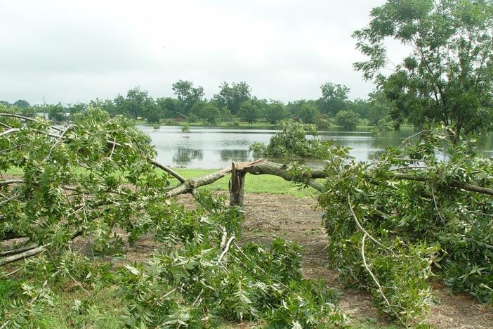
Hermine is expected to produce storm total rainfall accumulations of 5 to 10 inches over portions of northwest Florida and southern Georgia through Friday, with possible isolated maximum amounts of 20 inches. On Friday and Saturday, Hermine is expected to produce totals of 4 to 8 inches with local amounts of 10 inches possible across portions of eastern Georgia, South Carolina, and eastern North Carolina through Saturday. These rains may cause life-threatening flash flooding.
A few tornadoes are possible this afternoon into Friday morning over north Florida and southeast Georgia. The tornado risk will continue across the eastern Carolinas from Friday morning into Friday night.
Full statement from Deal:
Acting on a recommendation from the state's Emergency Operations Command in anticipation of Tropical Storm Hermine’s imminent Florida landfall, Gov. Nathan Deal today signed an executive order declaring a state of emergency for 56 counties. The state of emergency goes into effect at noon today and extends through midnight Saturday.
“Georgia is expected to receive severe weather related to Tropical Storm Hermine through Saturday,” Deal said. “We are working to ensure counties in south, central and coastal Georgia have access to the state resources necessary to prepare and respond when Tropical Storm Hermine enters Georgia. Our Emergency Operations Command will continue closely monitoring this storm and additional counties may be included in this declaration as needed.”
The declaration includes the following counties: Appling, Atkinson, Bacon, Ben Hill, Berrien, Brantley, Brooks, Bryan, Bulloch, Burke, Camden, Candler, Charlton, Chatham, Clinch, Coffee, Colquitt, Cook, Crisp, Decatur, Dodge, Echols, Effingham, Emanuel, Evans, Glynn, Grady, Irwin, Jeff Davis, Jefferson, Jenkins, Johnson, Lanier, Laurens, Liberty, Long, Lowndes, McIntosh, Mitchell, Montgomery, Pierce, Richmond, Screven, Seminole, Tattnall, Telfair, Thomas, Tift, Toombs, Treutlen, Turner, Ware, Wayne, Wheeler, Wilcox and Worth counties.
Under Director Jim Butterworth, the Georgia Emergency Management and Homeland Security Agency (GEMHSA) is coordinating disaster preparation efforts throughout the potentially affected areas with assistance from the Georgia Department of Transportation, the Department of Public Safety and the Department of Natural Resources. GEMHSA is also working with local authorities to ensure resources and assistance are made available. Evacuation shelters will open in communities as needed.
All schools in Lowndes County will be closed Friday, September 2.
All Savannah-Chatam County Public School System schools and administrative facilities will be closed Friday, September 2 due to Tropical Storm Hermine. Cancellations include all afterschool activities and athletic events scheduled for tonight – Thursday, September 1 and Friday, September 2.
The YMCA of Coastal Georgia's Pryme Tyme program will remain open on the evening of Thursday, September 1.
The Chatham Emergency Management Agency has issued the following warning:
The Chatham Emergency Management Agency continues to monitor Tropical Storm Hermine.
At 8:00 AM, the center of Tropical Storm Hermine was located near latitude 26.0N, 87.0W, or approximately 512 nautical miles southeast of Chatham County. Movement is to the North Northeast at 12 MPH. The National Weather Service has issued Tropical Storm WARNING for Chatham County.
Chatham County residents can expect to see sustained winds of 35-45 mph around 8AM Friday morning and throughout the day on Friday. There is the possibility of power outages and downed trees, therefore any individual who relies on electricity for medical purposes should finalize emergency preparations. It is also expected that Chatham County will experience 4-8 inches of rain. Flood prone areas will need to be monitored. Turn around DON’T drown!
It is strongly recommended that Chatham County residents continue making improvements to their family preparedness plans. Recommended actions for citizens are as follows:
· Make a family and pet evacuation plan.
· Make an emergency kit to have on standby.
· Fill your car and generators with gas. If you need to use a generator please do so in a well ventilated area.
· Have plenty of flashlights and batteries on hand in case the power is out. Use candles only as a last resort due to fire hazards.
Visit www.ChathamEmergency.org for more tips on preparing and planning.


Bottom Content