Section Branding
Header Content
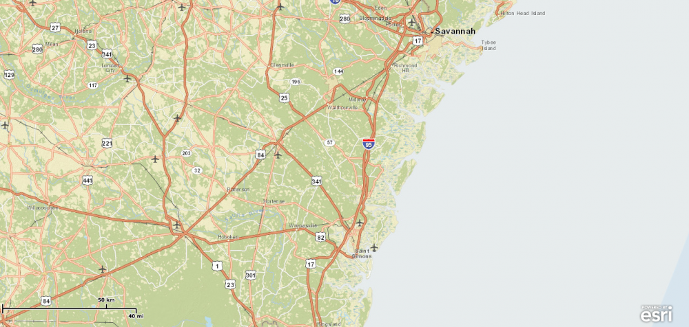
Coastal Map Illustrates Hazards
Primary Content
A new web-based map makes hurricane and flood information on Georgia's coast more accessible.
With a click of a mouse, the Georgia Coastal Hazard Portal’s interactive map allows users to peruse current and past climate data.
The data will also help policy-makers plan for disasters.
The portal was created through a partnership between the Skidaway Institute for Oceanography and the Savannah Area GIS program.
Funding for the project is provided by the National Oceanic and Atmospheric Administration.
Tags: Savannah, coastal Georgia, hurricane, Map
Bottom Content
