Section Branding
Header Content
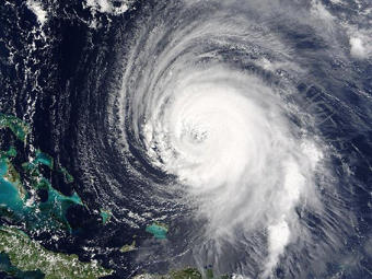
Ready For Storm Season?
Primary Content
Chuck Watson's home office in a leafy Savannah neighborhood is wall-to-wall computers.
A Savannah-based hazard analyst, he crunches numbers that predict tropical storm activity.
And what's his prediction for this year's Atlantic storm season, which begins Tuesday?
Watson is adding his forecast to a growing number that say this one will be one of the most active on record.
According to his numbers, his leafy neighborhood, and in fact, the entire Georgia coast, have a nearly 10% chance of getting hit with major storm damage.
That's about double the chances of an average year.
But don't think about it too much.
Watson says, his numbers are mainly for insurance, oil and agriculture industries.
They want the number to guage possible financial losses.
You should always treat every year like you're going to get hit. Make sure your insurance is taken care of. Make sure that your evacuation's planned. Make sure you can take care of your pets. All those things. Just treat every year like you're going to be hit.
They're based on running a hundred computer models, each making a different map of storm tracks.
One storm track socked a storm straight at Savannah.
These are just possible futures. They're not carved in stone or anything. But, it's a little disconcerting. It makes you want to look at your insurance records and make sure things are up to speed.
Watson says, this year's active forecast stems from a cold Pacific and warm Atlantic.
Other leading forecasters, including the National Hurricane Center and the University of Colorado, mirror his predictions for an active year.
Last year, Watson correctly predicted below-average storm activity.
He says, emergency managers were furious.
Tags: hurricanes, tropical storms, coastal Georgia, hurricane season, GPB News, hurricane forecast, Chuck Watson, University of Central Florida
Bottom Content
