")
Banner Image
Blog

Section Branding
Header Content
First Tropical Storm of the Season
Primary Content
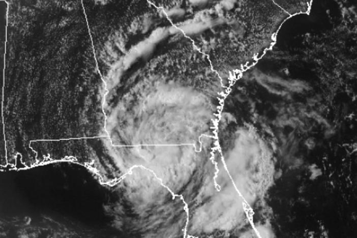
Update: Tropical Storm Arlene formed on June 28, 2011 and dissipated on July 1st, 2011. Arlene generated peak maximum sustained wind speeds of 65 mph before making landfall near Cabo Rojo, Mexico, on June 30th, 2011. More information about Tropical Storm Arlene can be found here. The National Hurricane Center notes that, on average, a tropical storm occurs in the Atlantic Ocean basin at a frequency of once every other year.
The National Weather Service in Miami, Florida has named the first tropical storm of the season! Tropical Storm Arlene is located in the Bay of Campeche in southern Mexico; the maximum sustained winds are 45 knots (50 mph), the minimum central pressure is 1000 millibars, and Arlene is moving west at 7 knots (8 mph). While the National Hurricane Center expects Tropical Storm Arlene to gain in strength before she makes landfall, they are doubtful that Arlene will strengthen to hurricane status before she crosses over land. Nevertheless, up-to-date information about Arlene can be found in the Forecast Discussion section of the National Hurricane Center’s website.
Before Arlene strengthened and became a tropical storm, she was a tropical disturbance and a tropical depression as well. While it seems that meteorologists arbitrarily throw around terms such as “depression,” “cyclone,” and “storm” to describe various tropical features, a distinct system for classifying these features does exist within the atmospheric sciences. In my next post, I will break down the different classifications and requirements for a tropical storm to be classified as, well, a tropical storm. In the meantime, happy storm spotting!

Related Posts You May Like
Tour Through The Hurricane Hunters' Airplane!
Tropical Storm Bret
If A Storm Brews In The Tropics, Is It Really A Tropical Storm?
")
Secondary Content
Author

Bottom Content